New Flood Maps Released
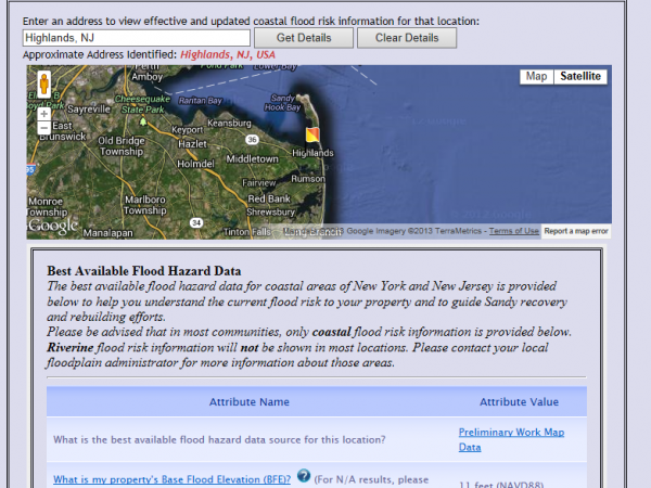
FEMA has updated its Base Flood Elevation maps for Atlantic, Hudson, Monmouth and Ocean counties.
Residents and businesses can enter the address of their properties and find their flood zone designation, the base flood elevation for the property and the estimated ground elevation of the location.
The interactive map site can be found here or by clicking on the picture.
Posted: June 17th, 2013 | Author: Art Gallagher | Filed under: #STTS, FEMA, Flood Maps, Flooding | Tags: A zone, FEMA, Flood Maps, V zone | 1 Comment »
